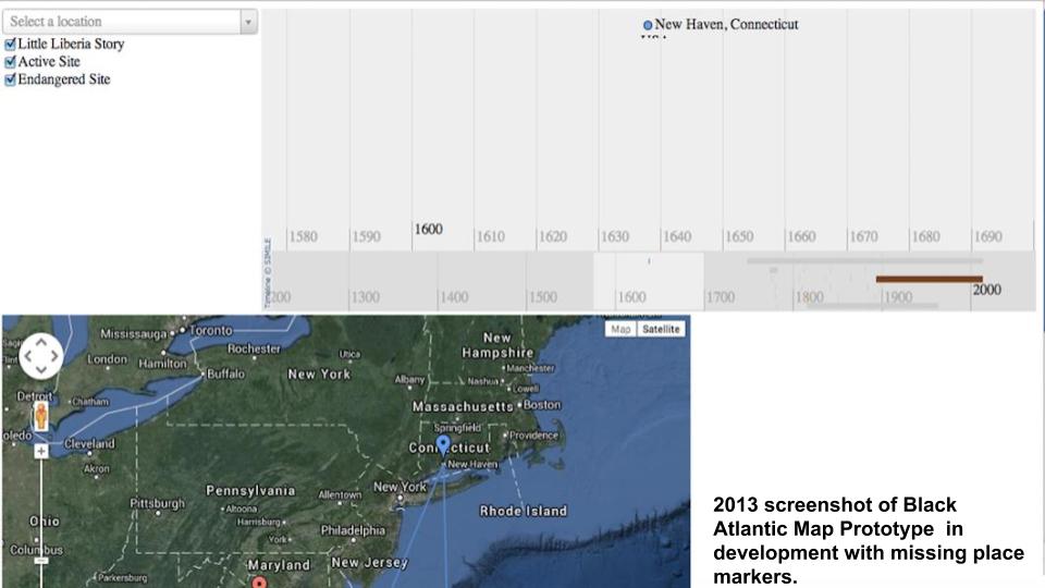
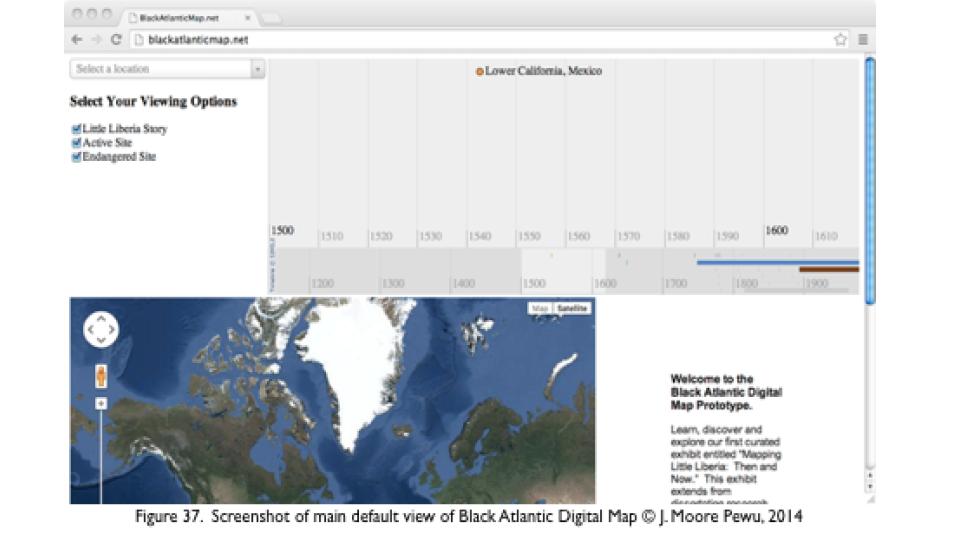
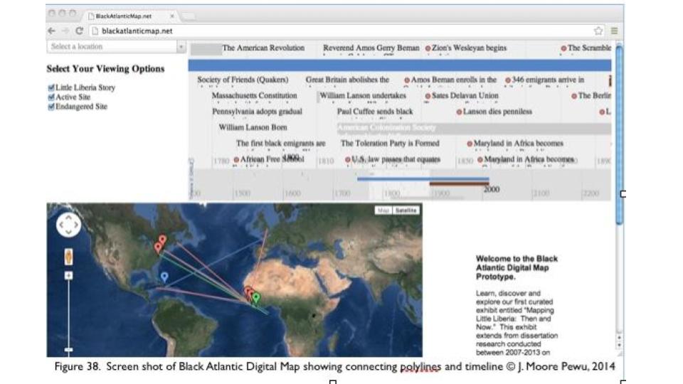
The following images are what remain from my Black Atlantic Map prototype first created in 2013-2014 using TimeMap and Google Maps, to display the spatial relationships between different African Diasporic sites connected to my research. The strength of this prototype was its potential to visualize color-coded networks and movement between Black Atlantic sites over time and space. However, its weakness was in its ability or non-ability to master the time – space relationship in ways that were both clear to understand and visually appealing. The larger than life timeline at the top always bothered me. The next generation of this map currently under development promises to remedy that. More to come..