These include: The Mapping Arts OC digital map; a bilingual mobile walking tour of the city’s downtown murals available through the pocket sights app, and a custom-made illustrative coloring/activity book designed to educate a K-5 audience. Each of these projects was completed in collaboration with student teams in my digital history practicum course at CSUF. Please see individual projects for a complete list of student contributors.
About the Walking Tour
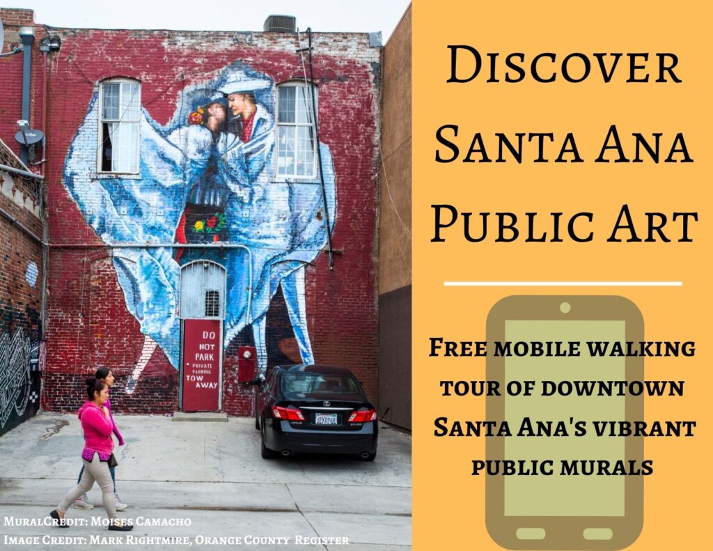
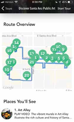
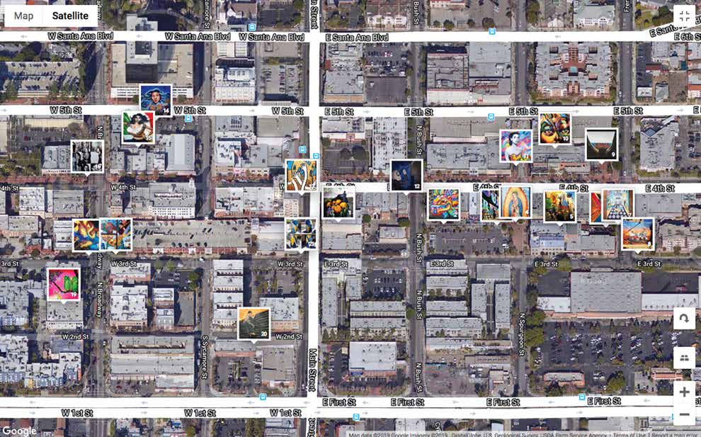
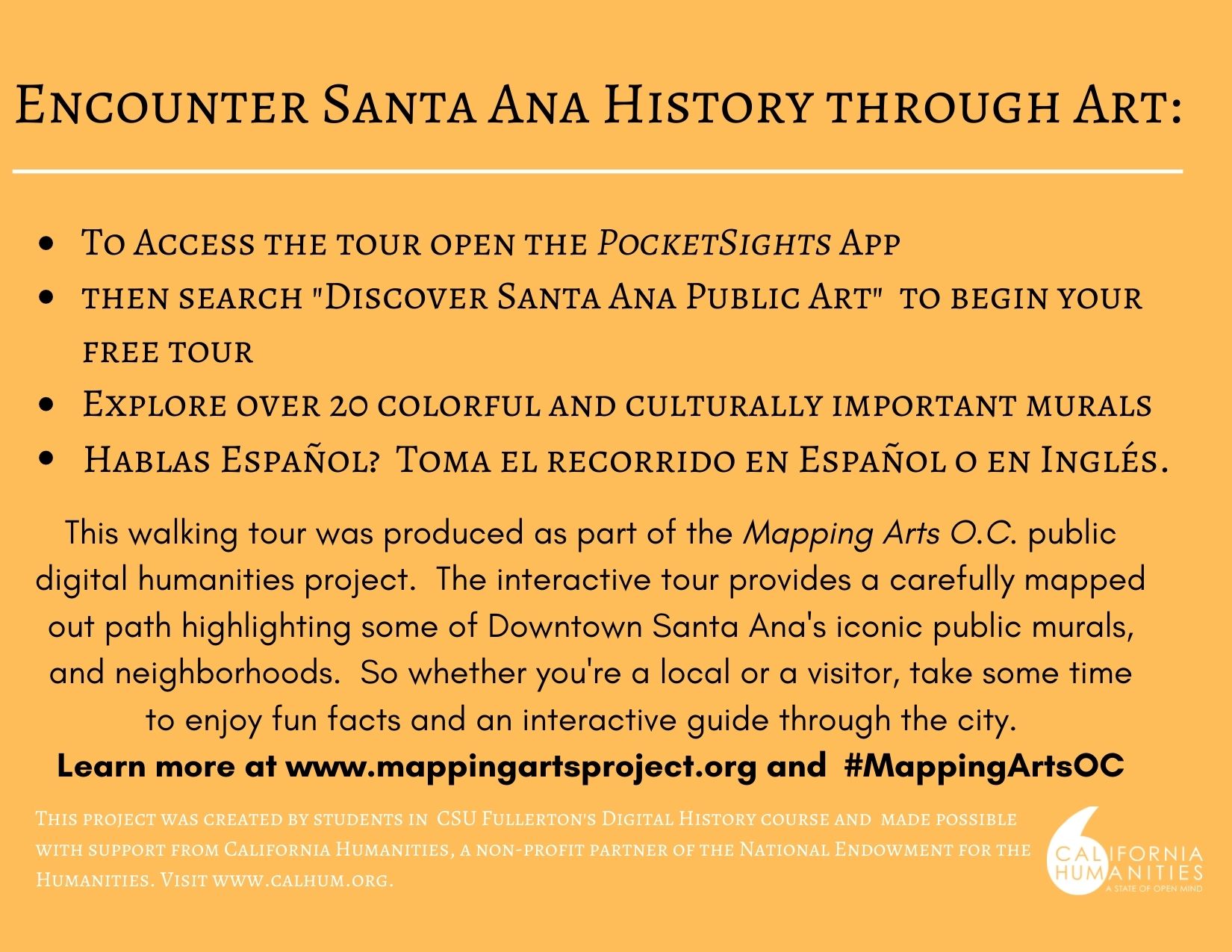
This 90 minute mobile walking tour gives users hands-on exposure to 20 public murals in Downtown Santa Ana. The project encourages new levels of cultural engagement and discussion within Downtown Santa Ana’s, epicenter of commerce, arts and culture by extracting and highlighting the story within the story for each mural. The tour also integrates local music, video clips and encourages physical interaction with murals while taking residents beyond Downtown Santa Ana’s advertised municipal structures and businesses to instead focus on the spaces where local artists reflect upon and respond to the city’s changing racial and socio-economic demographics.
The walking tour is available in Spanish and English and was produced using the PocketSights mobile application. Discover more here
About the Digital Map
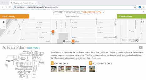
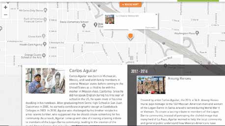
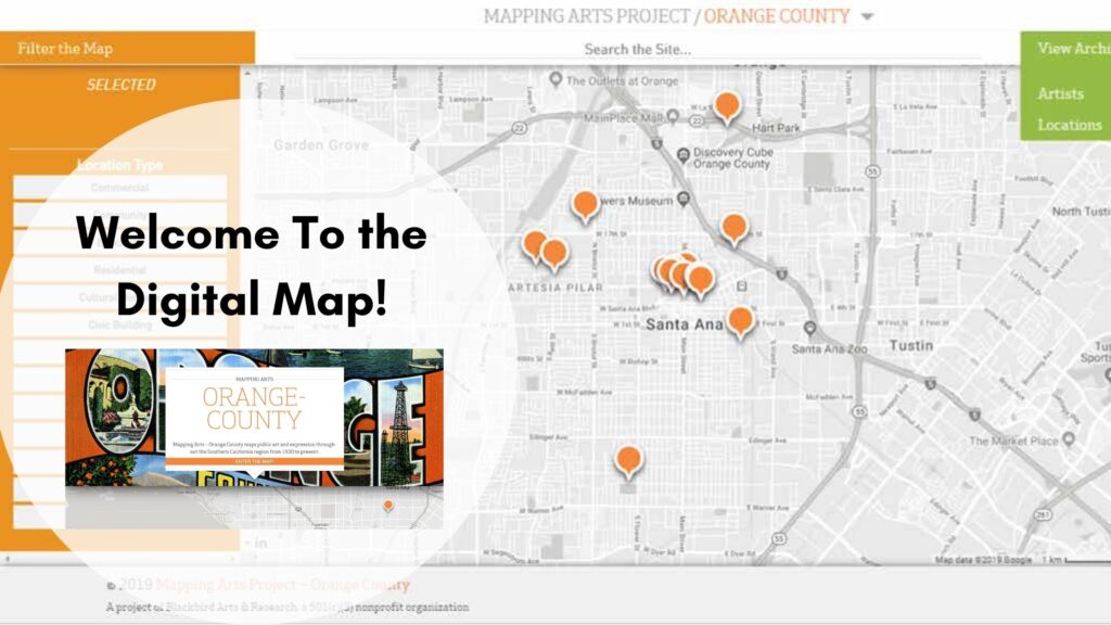
The digital mapping platform utilizes a google earth API developed by the non-profit Blackbird Arts & Research. The map visualizes pubic art from the perspective of location (where it is produced), and artist (who produces it), to tell the stories of what happened in that place (or which public art pieces link specific artists to specific locations). By visualizing our data in this way, we can think more critically about the historical and contemporary relationships between place-making, public art and cultural identity. Each pin on the map represents a location in the city. Discover more here

Location View 
Artist View
2) A profile of the artists’ work/s 3) map can also be sorted by location type and theme.
The illustrative coloring book is designed for a K-5 audience; and integrates activities that help to promote digital and visual literacy by synthesizing keywords and content from the digital map and the mobile walking tour in a fun accessible format. This coloring book features
- 12 digitally designed art pages based upon popular Santa Ana murals
- A “Fun Facts” page on the history of murals, key words, and the stories behind public art
- Fun and engaging activities that educate about public art
- A protective page to pull out and place between coloring pages
- A full color collage showing all of the murals from the coloring pages